Background
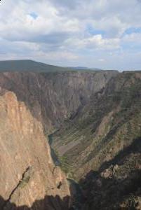
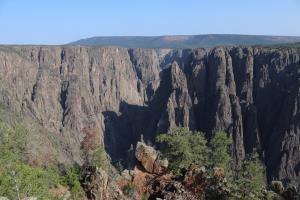
On Tuesday, July 27th, 2021 I descended the Gunnison Route in Black Canyon of The Gunnison National Park to camp for one night. A permit is required to do the route. Although the park entry costs $30 (assuming you don't have a yearly national park pass), the permit is free. It must be obtained the day before doing the route and is issued on a first come, first serve basis at 4:30PM on the back porch of the South Rim Visitor Center. Only 15 are issued per day. A ranger talks to the group who shows up for about 30 minutes, shows you pictures and answers questions.
The permit asks for a description of your vehicle (visual description, license plate state and number) along with an emergency contact number as well as some other basic information about your trip. The white copy of the permit needs to be returned to the visitor center once you are done with the hike. If you lose the permit, just make sure to tell them when you are back so that they do not send a search party the next day.
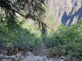
The Gunnison Route is a class 3 route and is difficult but is still the easiest route into the canyon. Starting at the visitor center, you go down to Oak Flat Loop then make your way down to a chain. This section is the easiest and one in which trekking poles are helpful. Upon reaching the metal chain, both hands are required. Having golves is very helpful on this section. After the chain section is complete, the route becomes more difficult to find. Although there were some scratched arrows someone made into the rock, these cannot be relied upon at all times.
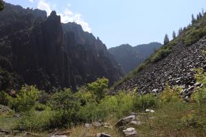
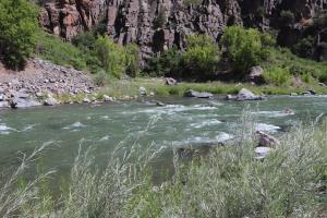
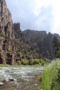
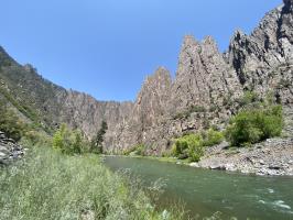
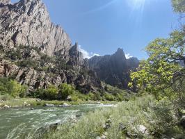
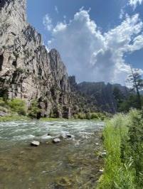
During the last section of the hike, trekking poles are again somewhat helpful as there is a lot of loose rock. Once at the base of the canyon, at the river, there are 3 campsites as well as an outhouse. If continuing further upstream, there are a few small areas where it is possible to get into the river, although this is not official or recommended by the park. If it also possible to fish in the river, assuming the correct permits are obtained.
If camping, a bear canister is required. During my time camping, I saw a large deer and squirrel but no other wildlife. There were some bugs although I didn't apply any bugspray. Campfires are not allowed but the use of a small camp stove is permitted. The sound of the river was rather loud but also peaceful.
Some recommend taking photos of behind you when coming down so you do not get lost returning. The arrows on the rocks I saw were not easy to find when going up, only on the way down. I did end up backtracking a few times to find the route. Once at the chains, the route is clear, below this can at times be confusing.
It is required to have 4 liters of water to do this hike or 2 liters and a water filter. I brought 2 liters and a water filter so that I could stay hydrated all day and have water to cook with. Sunscreen is also very important. Many start the hike in the summer near 7AM to avoid excessive sun exposure.
Descending the trail, with approximately 40 lbs on my back, took about 1 hour 30 minutes. Returning took a little over 2 hours and was more difficult, even starting shortly after sunrise with little to no sun exposure. GPS can be helpful to find the route if you are lost. Most people did not camp at the bottom but it is first come, first serve, so be aware.
Prior to starting the hike, I camped for free on BLM land at the Jones Draw campsite. Leaving the park, it is 2 cattle guards from the enterance, on the right. If you get to the 3rd, you went too far. There are no facilities at this campsite and fires are not allowed. There is also a campsite in the park, but this costs money.
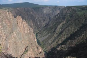
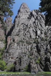
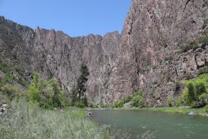
Overall, the hike provides an experience of seeing the Colorado River up close. It is difficult but offers one the option to fish and/ or camp. Camping the day before at the BLM campground was helpful. It is a serene place to be, for those who make it.
Resources
No Comments
