Background
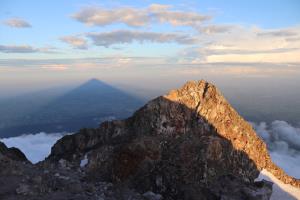
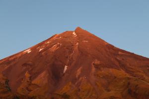
On Thursday, January 19th, 2023, I hiked to the summit of Mount Taranaki near New Plymouth, New Zealand for sunset. Mount Tarakani, also known as Mount Egmont for its first climber, is a 8,261 foot (2,518 meter) high mountain. Given that the mountain has a commanding view of the ocean and surrounding area, plus is visible from practically everywhere in the area, it was a must do climb.
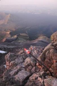
Going up for sunset meant that I would be coming down the mountain in the dark. There are over 100 poles along the way, every other one or so has a reflecting tape on it, making it possible to see with a headlamp. No one else went up for sunset, all people I saw were coming down the mountain in the fog and didn't have much, if any, of a view.
Schedule
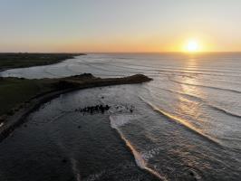
I started the hike at 3:11PM, making it to the summit at 7:11PM. The sunset on the coast was 8:49PM but on the mountain, didn't set until about 9:00PM due to the elevation gain. Starting the decent just after 9:00PM, I arrive back at the parking lot just before midnight.
Experience
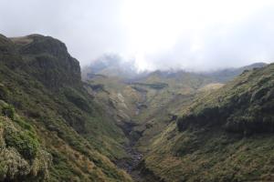
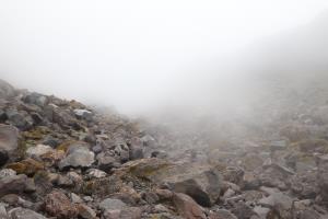
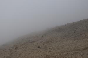
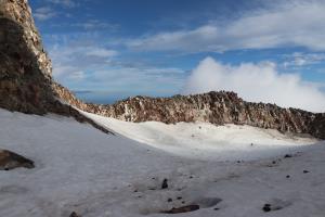
At the parking lot, the weather was sunny at the start. As I went up the mountain, there became a thick fog with some light rain. There are numbered poled which help navigate, going all the way up to the snow-filled crater.
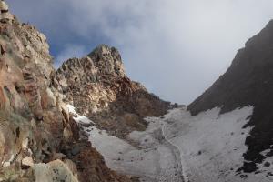
There were several distinct sections to the hike. At first, there is a gravel path. Next there are stairs and mixed rocky terrain. This eventually leads to a scree field which is challenging to gain footing in, causing backwards slips. After this is class 2-3 climbing until you reach the crater. Finally, there is a last section to climb until reaching the summit. At the top, and at times along the way, there were many small but harmless bugs.
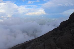
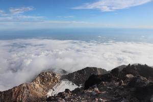
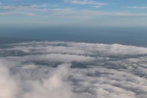
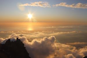
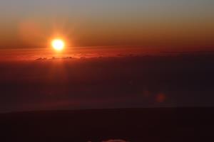
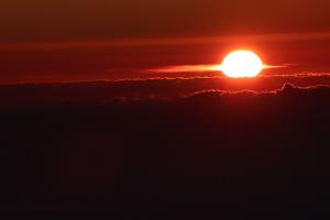
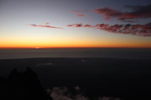
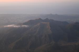
I monitored the weather with Mountain Forecast, which was helpful in determining wind speed, and NIWA Weather, which was helpful in determining fog and rain. At the summit, shortly after I arrived, there was no wind and the fog slowly burned off to lead to incredible views. Being above the clouds, watching the fog move and seeing the sunset was a powerful experience. Once the sun set, it was possible to see the entire pennisula, which was unlike any mountain I've ever been on.
Useful Information
- Prepare for all kinds of weather: hot, cold, wind, rain and snow, at any time
- Wear boots and long pants which can cover the ankles of the boots to prevent rocks from getting in
- Bring hiking poles and rock climbing gloves (you may need a place to put poles if you transition to only climbing)
- If going up for sunset, or sunrise, bring a headlamp
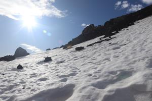
- If walking through the snowfield, bring microspikes (it isn't needed to go through this in summer to get to the summit, but you can explore the snow-filled crater); microspikes can also be useful to climb on the scree
- Go in the summer (January to April) for the best chance of summitting (lack of ice on trail)
- There are lots of flies at the top (probably from people urinating on the summit)
- Carry a PLB (personal locator beacon) if going alone
- Visibility can be low when there is fog, rely on numbered poles for navigation
- Use GPS, like from AllTrails, in case you get off route in the dark or bad weather
- Monitor the weather with multiple data sources such as: Mountain Forecast and NIWA Weather (high winds, rain or thick fog may make the hike not worth doing)
- You can park in the lot at the top overnight as it is essentially a Freedom Camping spot
No Comments
