Directions
There are two main ways to get to the falls from the trailhead, the long way (16+/- miles round trip) which is safer and the shorter (8+/- miles round trip) but more hazardous path. There are no signs for the shorter path because it's more dangerous and overgrown, you should use a map in either case. The directions from the shorter path: Google Maps and AllTrails.
My Experience
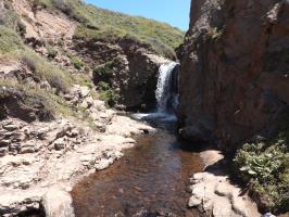
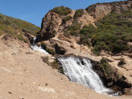
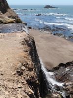
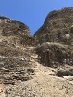
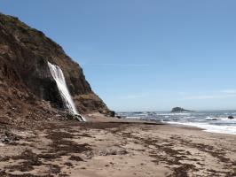
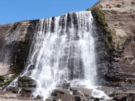
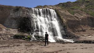
I went to the falls on a clear and warm day. On the path, I encountered mosquitoes multiple times (bring bug spray) and saw two snakes. Getting to the falls path wasn't clear, you need to exit Coast Trail onto an overgrown path. There are two main parts of the waterfalls, both of which require you to scale down a steep rock wall and use your hands a bit.
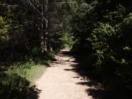
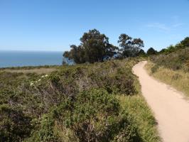
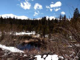
I did not get phone reception on the trail but I was still able to use GPS on Google Maps to find my way. About half of the path is under tree cover but the other half gets a lot of sun exposure so wearing sunscreen is a good idea. I noticed many people on the trail even on a Tuesday afternoon, the parking lot was half-full at 11:00am.
Equipment Used
No Comments
