Background
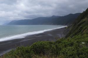
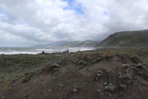
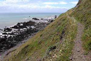
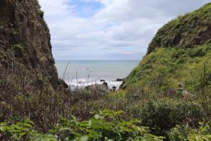
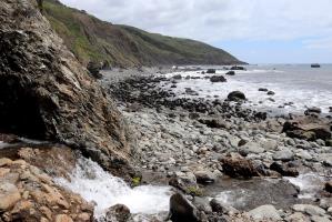
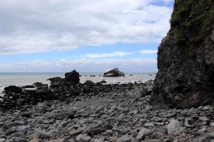
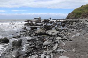
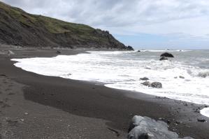
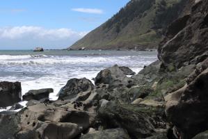
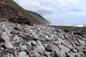
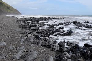
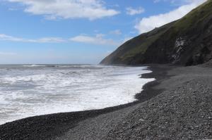
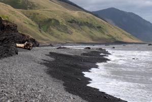
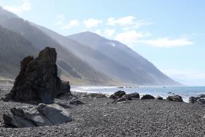
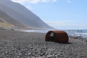
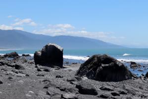
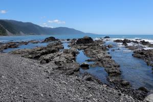
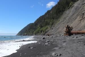
I decided to solo hike the northern section of Lost Coast Trail, a 24.6 mile stretch of land in the King Range from Mattole to Black Sands Beach, during Memorial Day Weekend 2019. This area is rugged and the trail is unique in that it requires passing two 4-mile sections during low tide (plus a few others). Attempting certain sections during high tide has proven fatal for some hikers. I hiked from north to south, taking a shuttle from Black Sands Beach to Mattole Beach and then hiking back to my rental car in the parking lot.
Day 1 (May 26th, 2019)
On the first day, I woke up in Garberville (at the Garberville Motel) and drove about 45-minutes, to the Black Sands Beach parking lot, arriving near 7:30AM. Here, I parked my car and waited for an 8:00AM shuttle, provided by Lost Coast Adventure Tours, to Mattole Beach. I was lucky to get a parking spot, as the lot was full. After a stop for coffee and a two-hour drive on a winding road, I began hiking at 11:00AM. I continued hiking, during the low tide, to Spanish Flat.
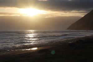
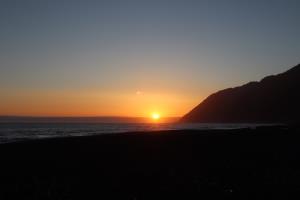
I arrived at Spanish Flat at 5:00PM, where there were two groups of two people camping. Here, I met fellow trekkers and went to sleep. Upon waking up in the night, I noticed amazing stars and the Milky Way. There was a decent wind gust, some rain, and clouds during the day and this persisted until sunset.
Day 2 - Memorial Day (May 27th, 2019)
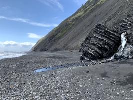
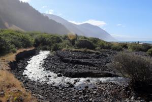
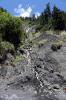
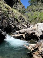
On the second day, I began hiking from Spanish Flat at 9:00AM and continued past the landslide area, during low tide near Buck Creek, until reaching Gitchell Creek at 3:30PM. From here I was able to go into a cold water pool at the creek, which was highly refreshing in the mid-day sun. The weather was mostly sunny, with some breeze before sunset that went away.
Day 3 (May 28th, 2019)
On the last day, I began hiking from Gitchell Creek at 8:30AM and arrived at the Black Sands Beach parking lot at 10:30AM. The weather was sunny and mostly ideal for the last stretch of the hike.
Things To Know
- You need to get a permit to hike the Lost Coast Trail, $6 as of May, 2019 (get permit here)
- You need to know the high and low tide schedule to plan your hike (see tide predictions here)
- Trust what you see the ocean doing, regardless of what the tide is supposed to be doing
- Only cross the impassable sections during low tide, high tide has proven fatal for some individuals
- You must bury your human waste below the high tide level
- Do this at least 200-feet (70 paces) from creeks
- Bury it 6-8 inches below the ground
- See this video for more detail
- You must pack out all food scraps and leave no trace when camping
- You must have a bear canister to contain all of your food and scented items such as toothpaste
- These can be rented if you do not own one
- There is a lot of poison oak, wear pants
- You must filter water from creeks to drink
- Creeks occur every mile or so, depending on the time of year and rains
- Purer water generally comes from the smaller creeks and streams
- Carry a waterproof map and identify where you are by the quantity of creeks and the topographical map
- You will need to take a shuttle or have a plan to get to and from the trailheads, it is better to hike north to south to deal with the winds
- You can take a shuttle from one of a few companies (Lost Coast Adventure Tours costs $85 as of May, 2019)
- If you take Lost Coast Adventure Tours, confirm that the shuttle you are on will have at least 4 people on it
- Before you start the hike, you can camp near Shelter Cove, stay at the Inn of the Lost Coast (very expensive) or stay in Garberville and drive in to get to Black Sands Beach
- You can take a shuttle from one of a few companies (Lost Coast Adventure Tours costs $85 as of May, 2019)
- Check the weather and plan accordingly, there could be strong winds and rain (see weather here)
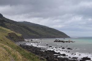
- The rocky and sandy terrian will slow down hiking as the vast majority of the hike takes place along the shoreline
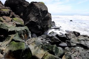
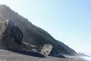
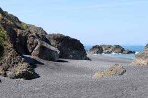
- Sand and rocks of all kinds, big and small, will be present and some scrambling may be required
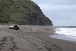
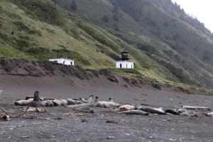
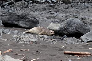
- There are elephant seals (stay a good distance from them), rattlesnakes (especially when it's warm outside), and bears (rarer but sill present) on the trail, stay aware
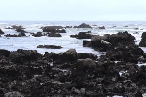
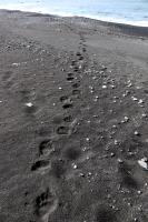
- I saw many elephant seals, whales in the distance, a sea otter, bear footprints, a bat at night, and a snake near Rattlesnake Creek during my hike
- Do not go into the ocean, you could be swept away
- If you are pulled out to sea in a rip current, do not panic, swim parallel to the beach to escape the current and then to shore
- Bring trekking poles to make hiking easier
- Bring stream crossing shoes to make stream crossing easier
- Tie your tent to driftwood or use rocks, if you don't have sand stakes, to prevent it from blowing away
- The trail is typically done in 2-4 days depending on the experience you are looking for
- Check yourself for ticks, which are common here
- There is no cell phone service along the trail, or anywhere reliably, outside of Garberville
- A satellite phone or other means of communication may be needed in an emergency (I did not bring this, despite going alone)
- It is difficult to get lost, keep the ocean on your right when headed south
- There is a blue sign and call box near the end of the trail at Black Sands Beach which has stairs back to the parking lot, up a sidewalk and around to the overlook
No Comments
